Click to download now, finish the installation quickly, and directly unlock the all-round experience
Screenshots
Click to download now, finish the installation quickly, and directly unlock the all-round experience
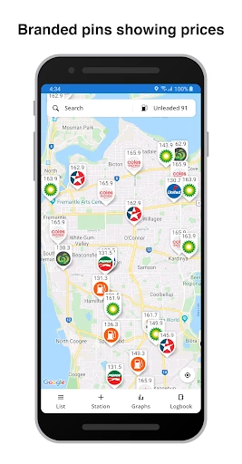
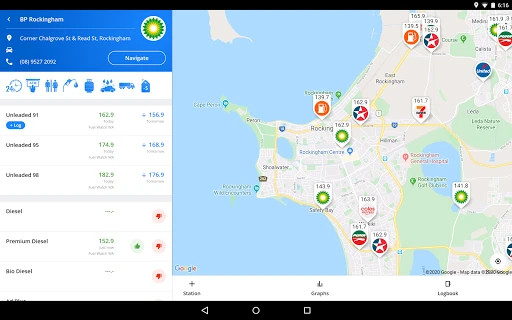
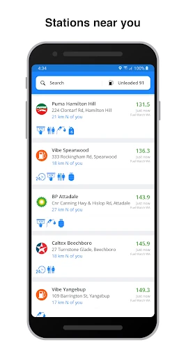
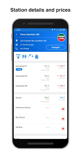
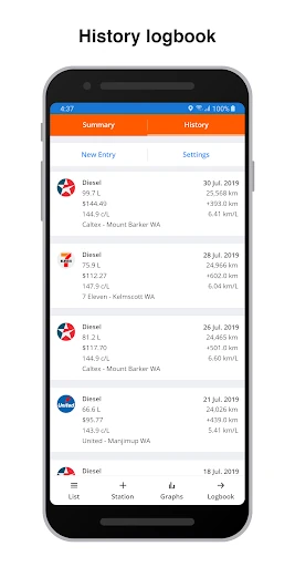
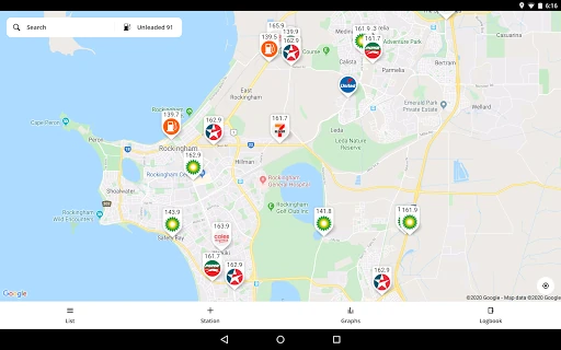
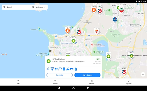
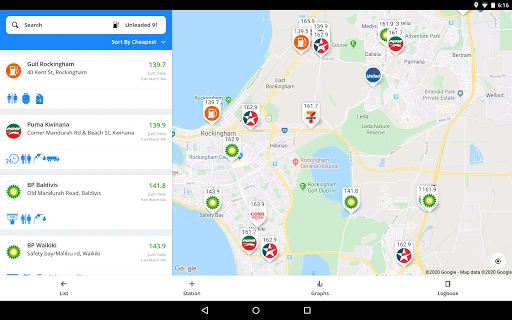
Fuel Map Australia helps drivers find nearby petrol stations, compare listed fuel prices and plan where to refuel. Its map shows station locations by brand, while the station list makes it easier to compare options around a selected area. It suits everyday commuters, road-trippers and drivers travelling through regional Australia who want more information than a single station locator provides.
The app combines fuel information from government sources in Western Australia, New South Wales and Queensland with prices submitted or edited by users. That mix can be useful when travelling between states or looking for stations outside the main urban areas. Coverage may be less current in places where there are fewer contributors and no relevant government feed, so listed prices are best treated as a guide rather than a guarantee at the pump.
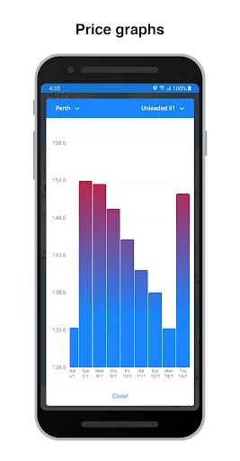
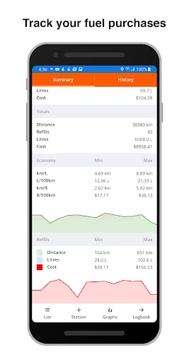
Fuel Map Australia is published by WikiCamps and has reached 500,000+ installs. Its 4.25 rating from 13,186 reviews reflects a substantial user base rather than a brief launch-period sample. The app is most valuable to drivers who regularly compare fuel prices or keep an eye on vehicle running costs, especially when a long trip makes the next reliable refuelling stop part of the plan.